- Project status members: Former work plan item
Land Cover Change
The Land Cover Change harnesses remote sensing potential for use in Arctic biodiversity monitoring and assessment activities.
Satellite data is underutilized in the Arctic. There is a desire among the various science disciplines to use remote sensing to support ongoing biodiversity assessments and monitoring. In addition, remote sensing data also has value for site-specific and regional applications.
CAFF, through the Circumpolar Biodiversity Monitoring Program, has created a framework to harness remote sensing potential for use in Arctic biodiversity monitoring and assessment activities and produced a series of satellite-based remote sensing products focussing on the circumpolar Arctic.
Satellite products are being developed for use by different stakeholder groups and products will be organized by terrestrial, marine, coastal, and freshwater disciplines. Landsat images will be used to generate additional remote sensing products at fine scale.
The Michigan Tech Research Institute (MTRI) assisted CAFF on selecting and providing MODIS satellite products for this system.
Products
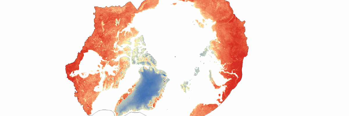
Cursory analyses have been conducted to display the potential of the MODIS suite of products in studying the pan-Arctic ecosystem.
CAFF is working wtih the Arctic Spatial Data Infrastructure (ASDI) and the MTRI to make this information available on the Arctic Biodiversity Data Service (ABDS).
These include early warning indicators such as:

ABBA
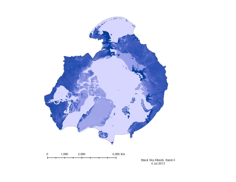
Albedo
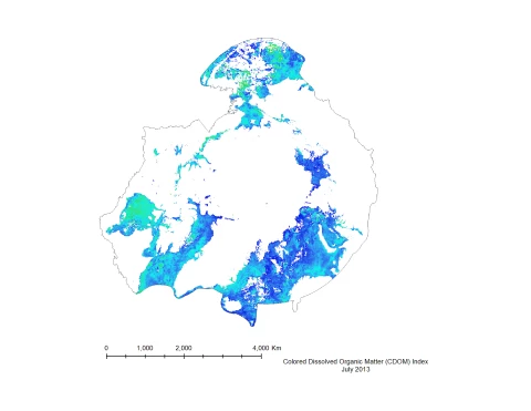
Coloured Dissolved Organic Matter
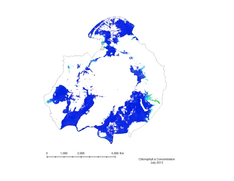
Marine Chlorophyll

GIOP
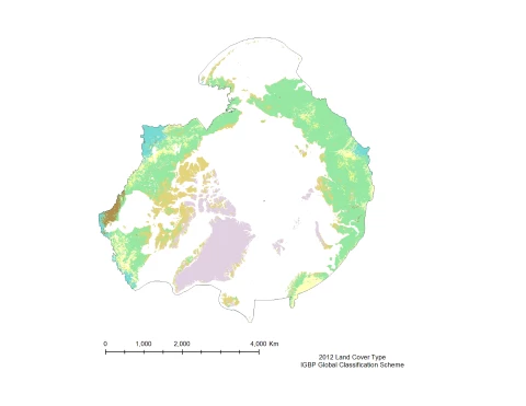
Land Cover Type
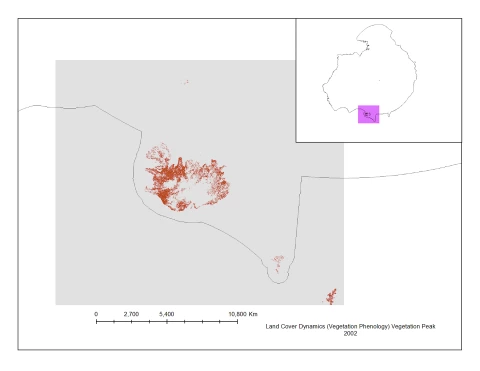
Land Cover Dynamics (Vegetation Phenology)
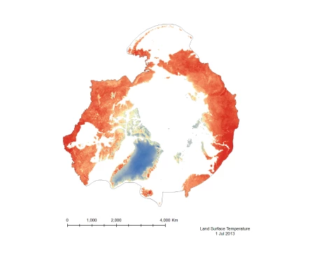
Land Surface Temperature
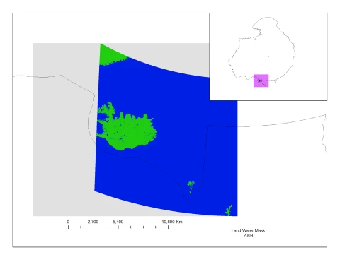
Land Water Mask
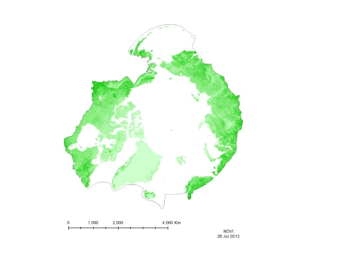
Normalized Difference Vegetation Index (NDVI)
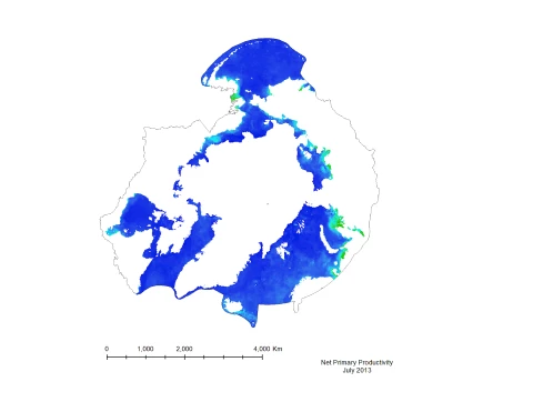
Marine Net Primary Productivity
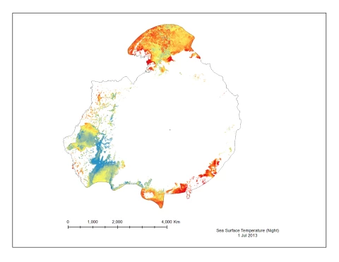
Sea Surface Temperature
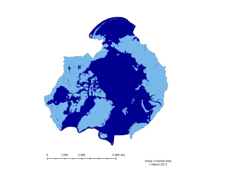
Snow Covered Area

Soil moisture