Development of a spatial planning tool for Arctic marine area-based conservation
Developing a tool for identifying areas of Arctic conservation priority for sea ice-dependent species to support marine planning and management
The main objective of the project is to develop a tool for identifying Arctic areas of conservation priority for sea ice-dependent species to support their consideration and prioritization in marine planning and management, taking into consideration climate change and human use. The planning tool will be developed through a cooperative staged approach consisting of three phases: 1) horizon scan and scoping (Phase 1); 2) data portal and atlas (Phase 2); and 3) spatial planning app (Phase 3). Ultimately, the proposed tool could be expanded further to cover a wider selection of conservation features, allowing for a more comprehensive pan-Arctic analysis to support the planning and development of a climate-resilient network of area-based conservation measures, such as Marine Protected Areas, Other Effective Area-Based Conservation Measures and Indigenous Protected and Conserved Areas.
A staged approach will allow for an adaptive workplan and the active involvement of Permanent Participants, who will be invited to inform the early stages of project planning. The project will be based on the best available knowledge that will be made accessible through an interactive interface. The project will seek to include Indigenous Knowledge and local knowledge at all phases.
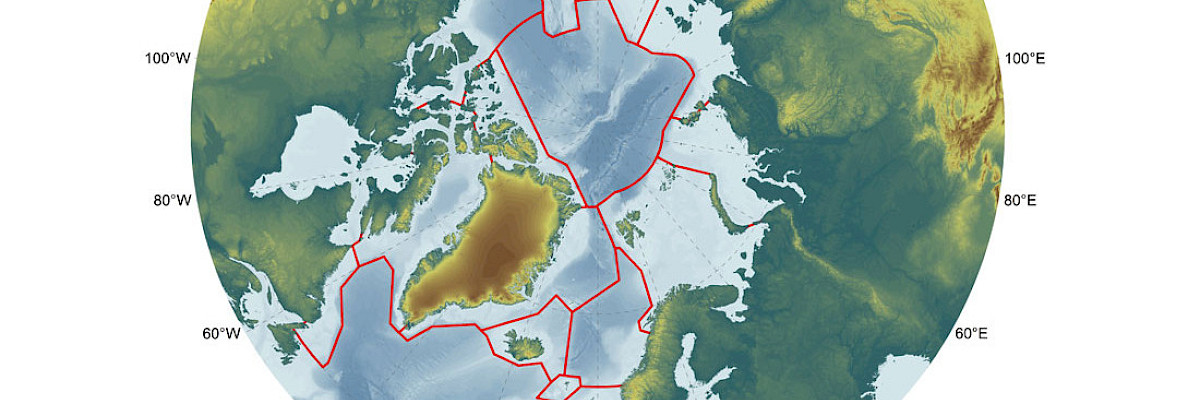
The proposed eventual planning area includes all 18 Arctic Large Marine Ecosystems.
Phase 1 will identify (combinations) of LMEs, and hence species, to be prioritized, potentially narrowing down the geographical scope of the case study.
Phase 2 will identify conservation features relevant for sea ice-dependent species, while data layers for human use may include commercial fisheries, ship traffic, mineral extraction, oil- and gas activities, tourism and subsistence harvesting.
Phase 3, spatial analysis and prioritization of areas to be considered for area-based conservation, will be based on the tool developed for recent work under the Convention on the Conservation of Antarctic Marine Living Resources (CCAMLR) for the planning of the Weddell Sea Marine Protected Area Phase 2 (see here). This tool has proven successful and has been appreciated by those participating in this work under CCAMLR, not least due to its flexibility, speed, stability and suitability for use as support for interactive exploration of various conservation scenarios and solutions, for example in participatory workshops. While the complexity of human use, climate change, governance, jurisdiction and management regimes are considerably higher in the Arctic than in the Antarctic, the basic tool is considered suitable also for exploring conservation scenarios considering such complexities.
Lead Working Groups
CAFFPAME
Lead Arctic States & Permanent Participants
CanadaNorway
The Kingdom of Denmark